
Measure land area
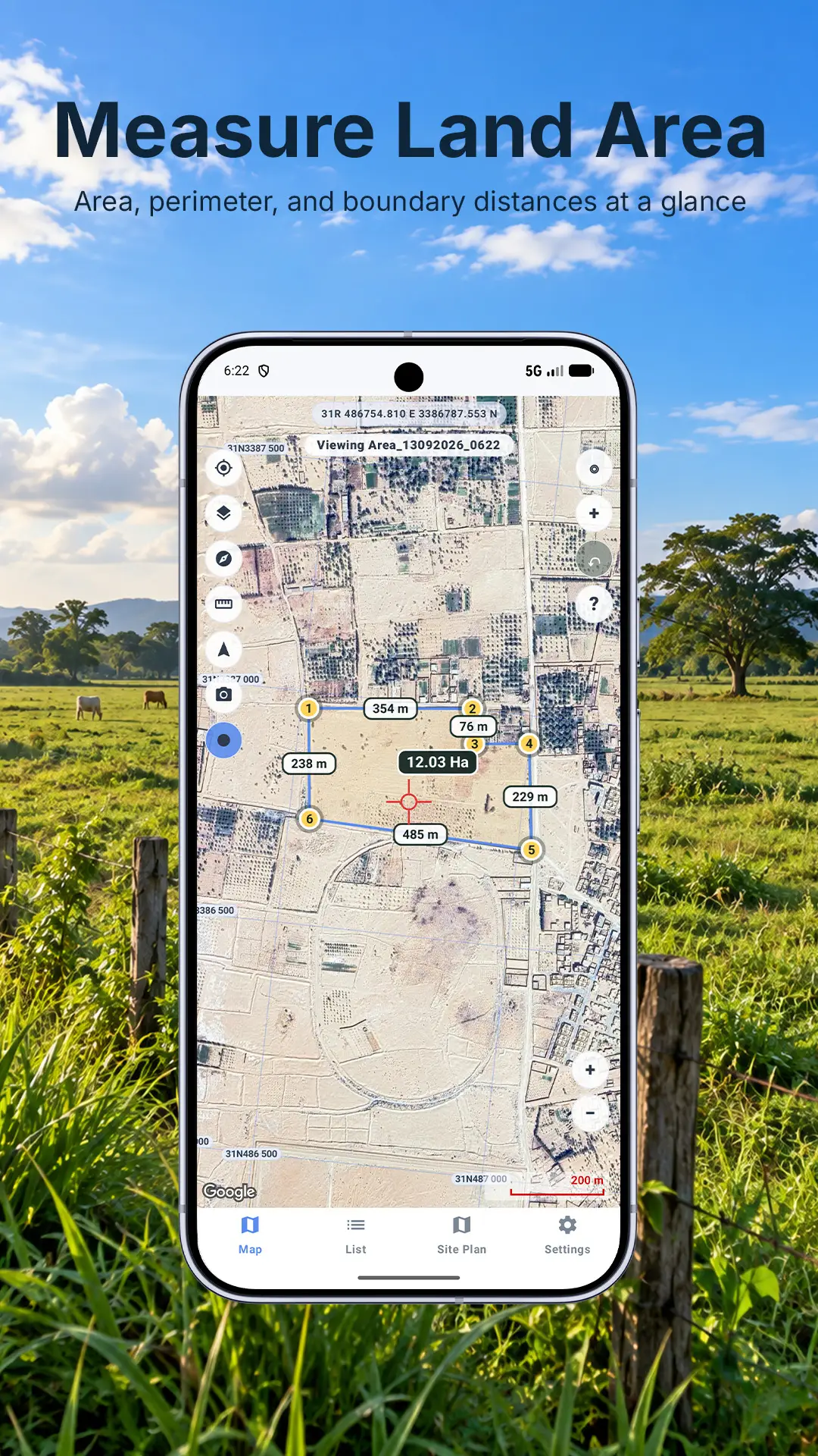
Mark corners on the map or with GPS, then see area, perimeter, and boundary distances at a glance.

Open beta on Google Play
GPS field tools for measuring land, marking points, recording routes, and finding your way back. Built for farmers, landowners, outdoor workers, and field teams using an Android phone.
What it does
Mark corners on the map or with GPS, then see area, perimeter, and boundary distances at a glance.
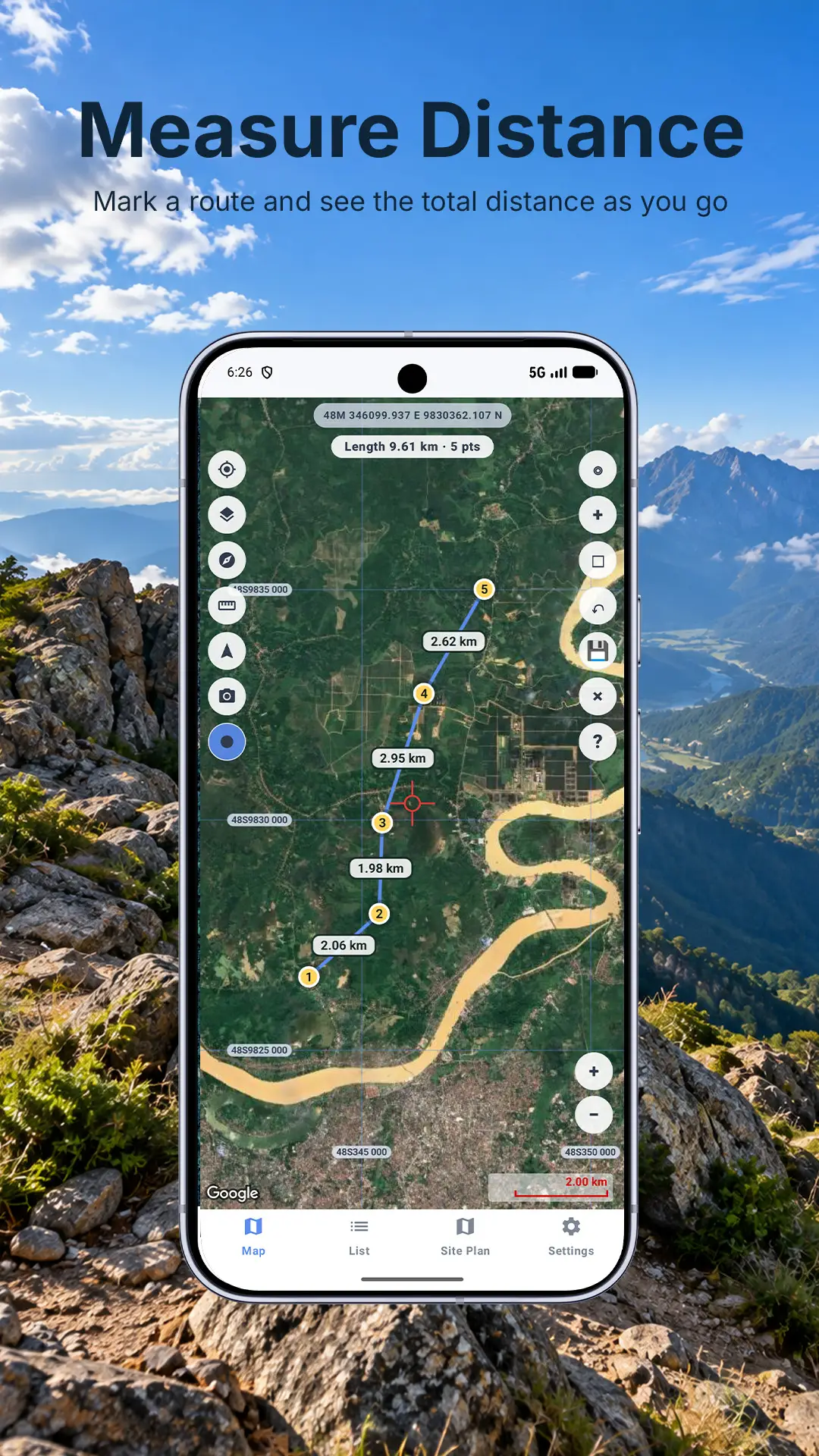
Trace roads, paths, fences, drains, inspections, and field walks while LandMate keeps total distance.
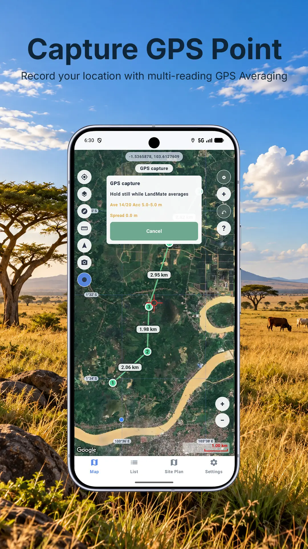
Save places with coordinates, altitude, accuracy, and timestamps, using multi-reading GPS averaging.
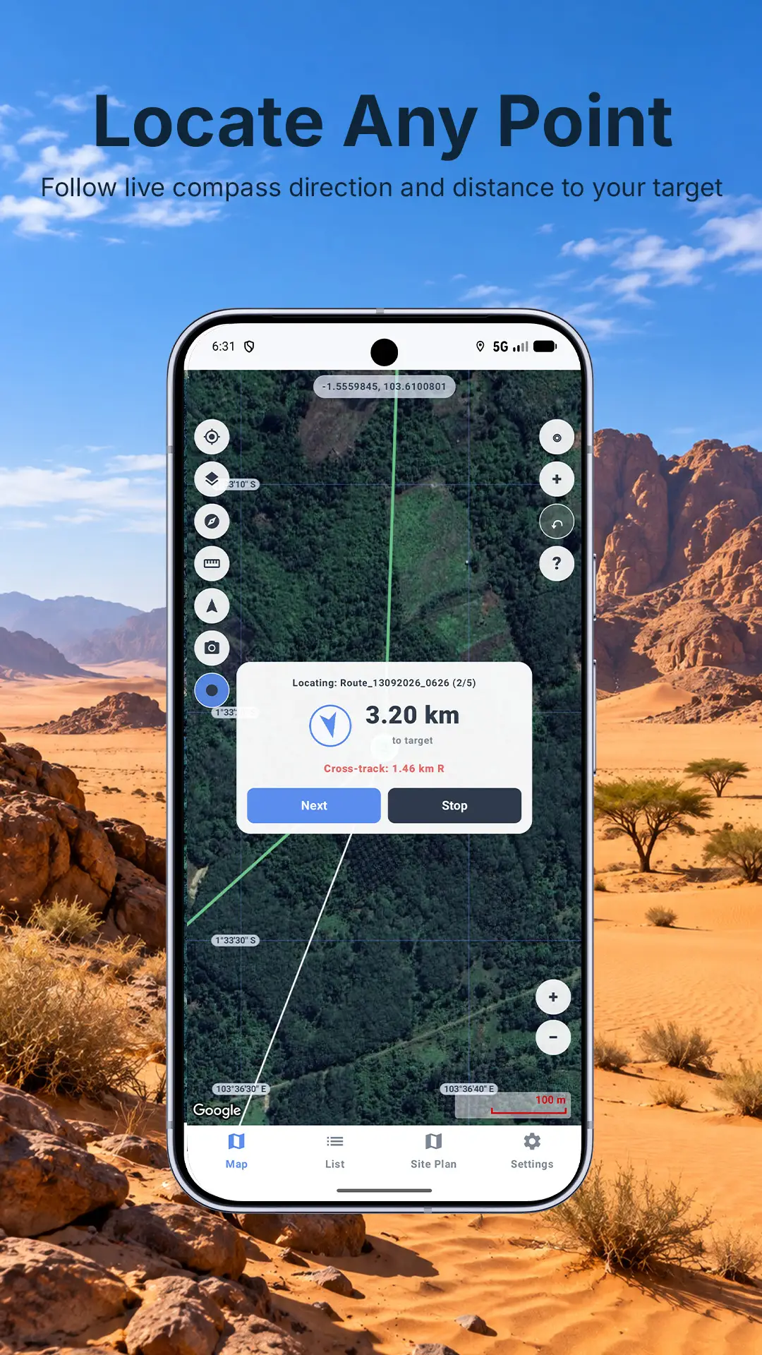
Use straight-line compass guidance and live distance to return to a saved point or route waypoint.
Work with Lat/Lon, UTM, and MGRS so field notes can match the coordinate format you need.
Keep your field data useful outside the app with formats such as GeoJSON, CSV, and PDF reports.
Inside the app
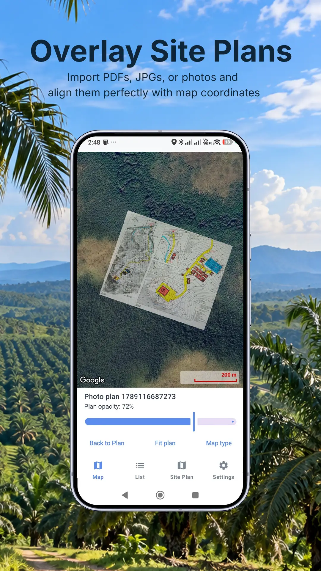
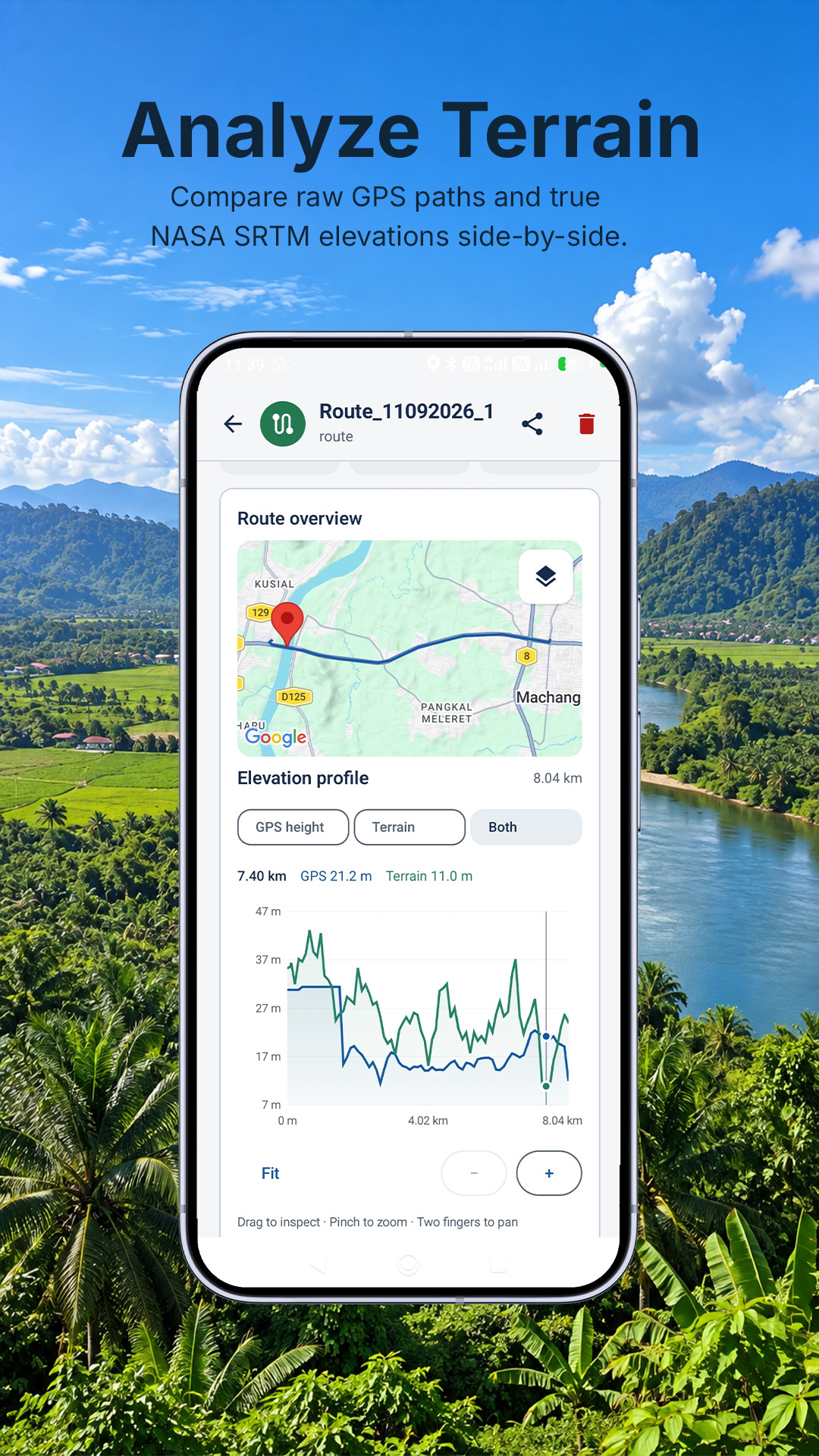
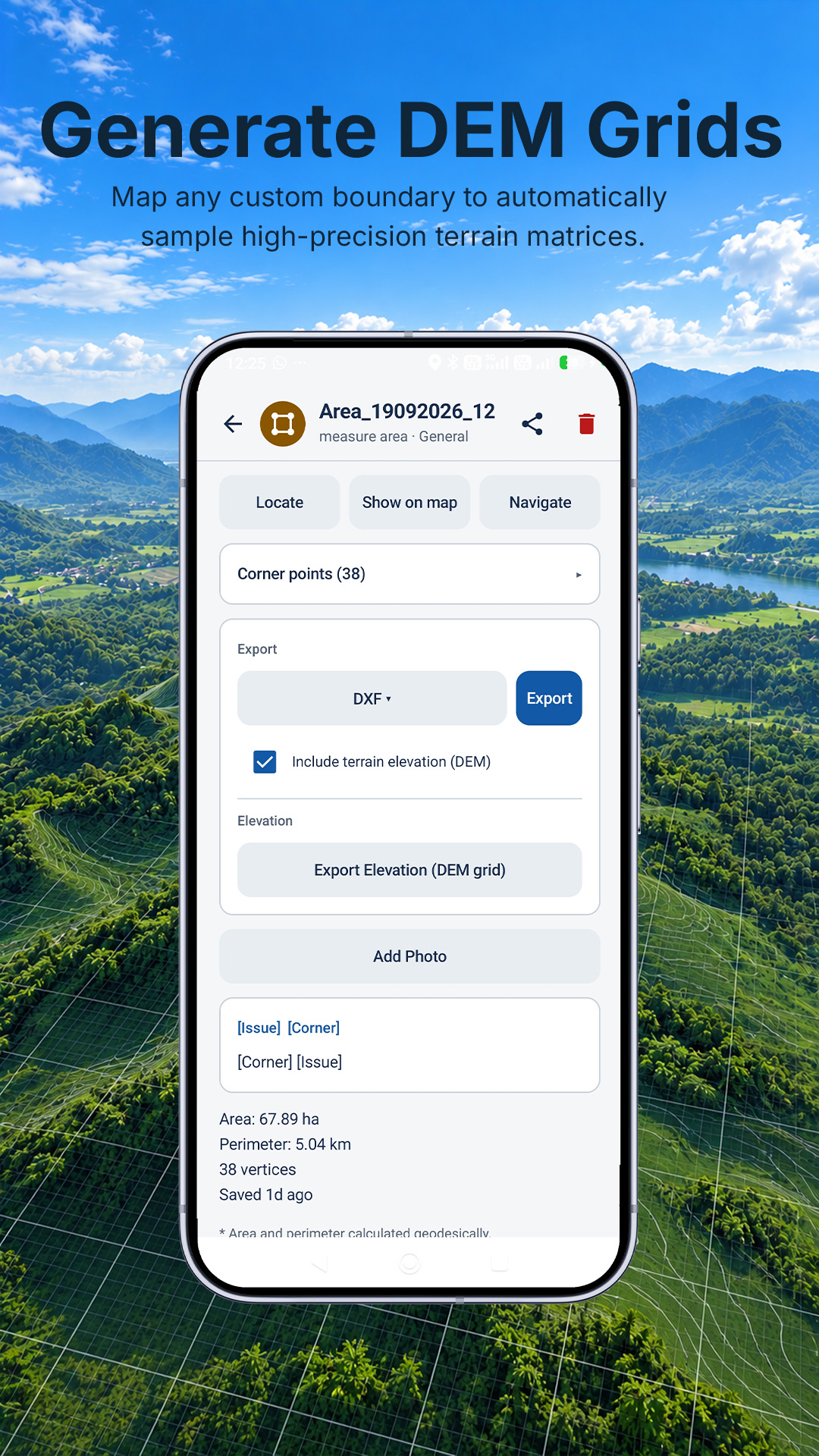
Field-first design
LandMate does not require an account, does not upload your saved field data, and does not track your location in the background. GPS is used on demand for the tools you choose.
Read the privacy policyGet LandMate
Use it on a real lot, farm, route, trail, or saved point. The open beta is live now, and your feedback still helps shape what comes next.